
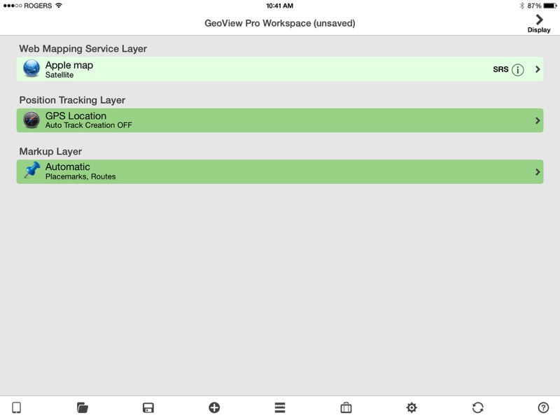
Add GPS Location to any compatible layer. The GPS location will be converted to the SRS of the base map.

If you want, you can create a KML track file history of your locations
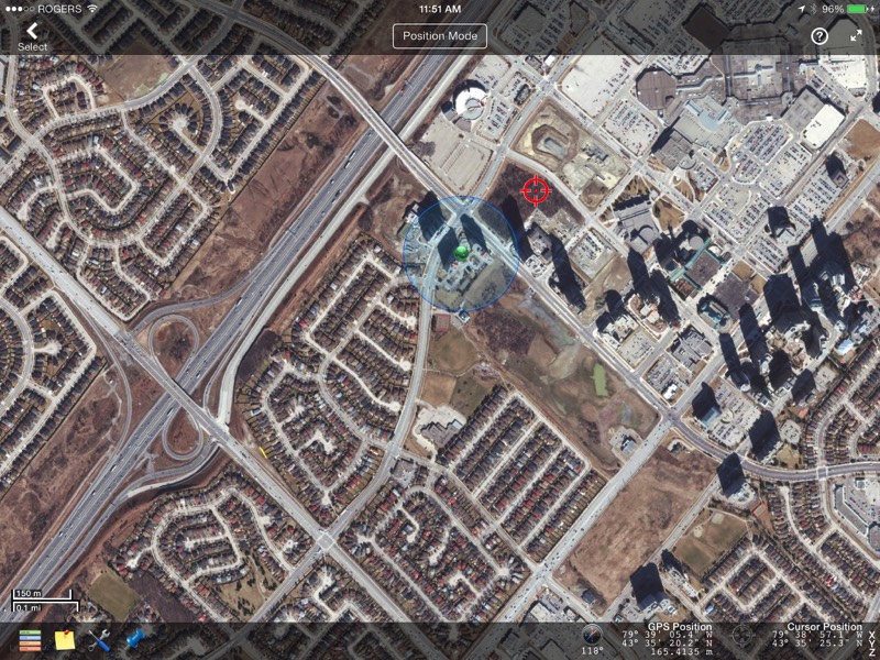
Your GPS location will be shown as a globe with a translucent blue ring representing the current accuracy
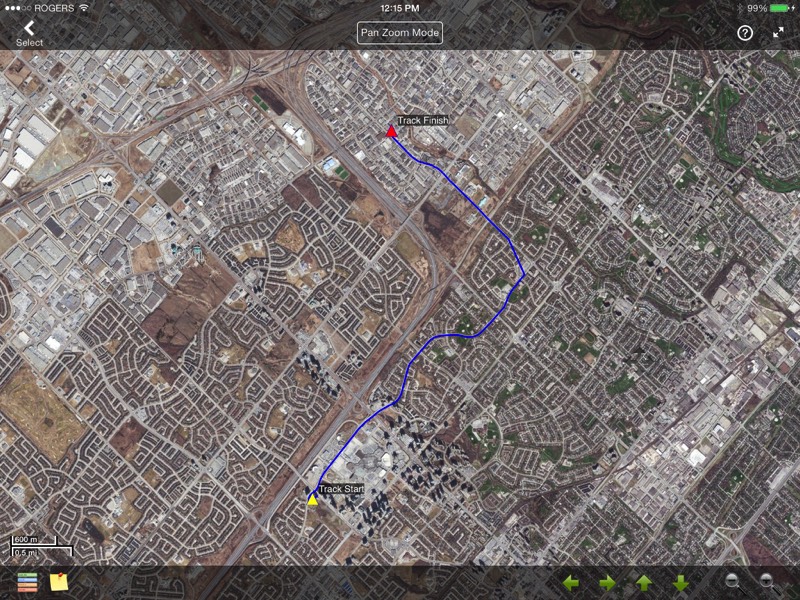
Track files are automatically saved locally and optionally uploaded to your Dropbox